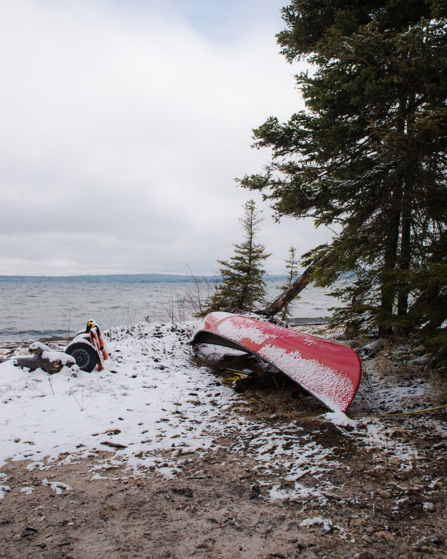
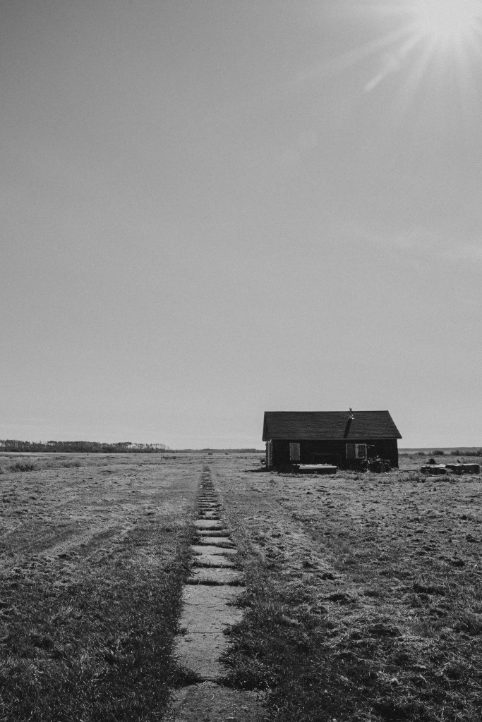
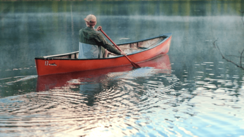
If I had to pin it down to one moment where it all clicked, it might be an evening in late October of 2021. A thick, almost icy haze had settled across uptown Fort McMurray creating an almost liminal space. The trailside tree canopy was illuminated in a deep orange glow from the street lamps and the only sound was the gentle whirr of bicycle tires on the pavement. I had been experimenting with commuting by bike on and off for a couple of years and had just purchased a capable and sturdy bicycle with electric assist to make a go of my first year of bike commuting year round. I’d had the fancy new bike for a couple weeks now and the truck hadn’t left the driveway. Not only was cycling for transportation, in the city famous for its oil sands, possible, but it was also a genuine joy. I was connecting with my city at a human pace, my body propelling me through it all, in a whole new way. The only question that lingered in my mind was, “How do I share this joy?”
I became a bike evangelist, sharing pictures of the view from the bike path on social media—vistas of the Athabasca River, tree-lined trails, and snow banks as high as my handlebars. I gushed about it to my friends in real life too. Yet despite my enthusiasm, it was hard to measure any changes around me. Where were the other cyclists? I had to believe that just the act of leaving the truck at home was an act of resistance but the message wasn’t sticking. And of course not; bike joy is something you have to experience to be converted.


After a little late-night googling, the picture started to come together. In Winnipeg, an art project called Plain Bicycle brought hundreds of second-hand Dutch bicycles to the Canadian city to create what they called a “culture bomb.” And it was working. As folks embraced the whimsy of the two-wheeled lifestyle, the culture started to change in their city. Around the same time, I picked up a copy of How to Do Nothing by Jenny Odell and learned about the concept of art in place. Instead of art just staying behind walls in a gallery, I read about incredible projects where art in the open air could generate conversations in the public sphere.
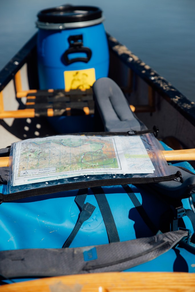
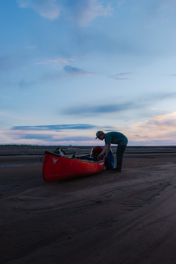
I also had a particular curiosity about a Dutch bike called a “bakfiets,” translated into English as a “box bike.” These long bikes with cargo boxes in front of the handlebars are used in the Netherlands to carry everything from deliveries to small children. The cargo box could be a canvas for a small-scale mural that would spark some joy on its own and take on a unique character as the bike was pedalled around town. It seemed like the right mix of utility and novelty to launch a joy-filled, covert, human-powered mission in Fort McMurray. Folks could borrow the cargo bike, experience the bike joy, and slowly but surely, we could push the needle toward a slower, kinder, and more reciprocal way of being within our community. We would name the project, “Borrow a Bakfiets.” But how would you find one, and how would you pay for it?
As it happens, there is a Dutch bicycle shop just four hours south in Edmonton, that recently imported brand new bakfietsen. They are beautiful machines designed to last a lifetime, and longer. We took one for a spin and put down a deposit. This could be it! At the same time, I put in an application for an Arts, Culture, and Heritage grant—a forward-thinking pilot by our municipality that allows folks who don’t fall into the nonprofit circle to take part in the Community Investment Program. Unfortunately, the grant approval took some time and the owner of the bike shop asks if he can sell the bakfiets on hold to another prospective buyer. Fortunately, he offers us his personal bakfiets instead. It’s well loved, having been the very bike his kids were raised in. And the price falls within the grant amount, meaning we won’t have to fundraise the shortfall to make the project a reality. By late summer our grant application was approved and the second-hand bakfiets arrived in Fort McMurray strapped into the back of a half-ton truck.

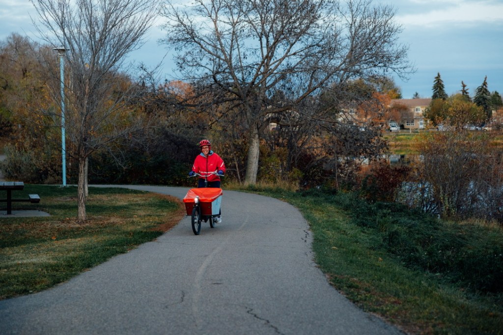
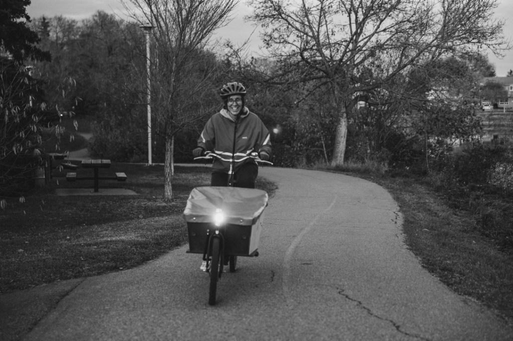
At once I began introducing it to the city I love: a post office trip by way of the Birchwood Trails, a stop to read a book under the trees and sunflowers of Helen Pacholko Park, a full cargo load full of apples from the church courtyard. The feeling was, as a Dutch person might say, “gezellig.”
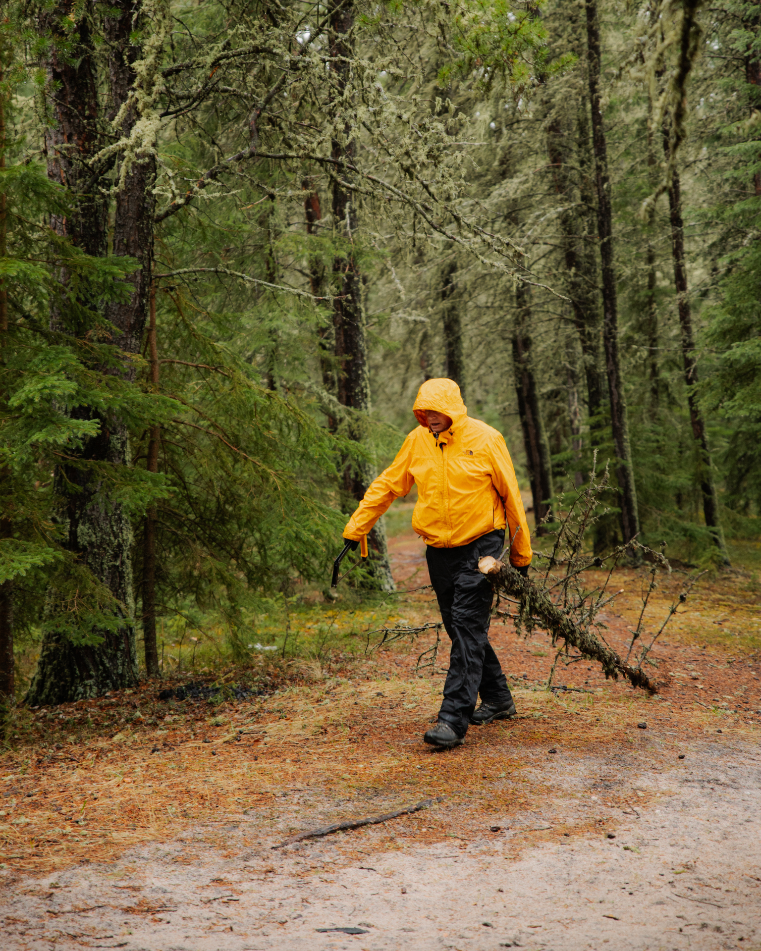
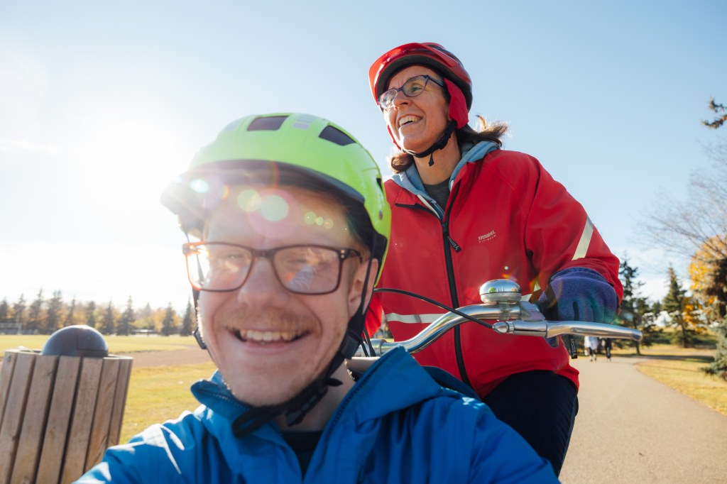
The bike was easy and comfortable to ride, anyone could do it. It created opportunities for new connections through conversations and chance encounters. It was, frankly, a slow bike but the change of pace offered the very invitation that cycling first offered to me: the chance to reconnect with the land we live on under the power of my own two legs.


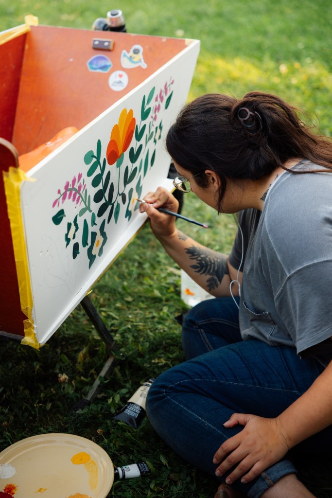
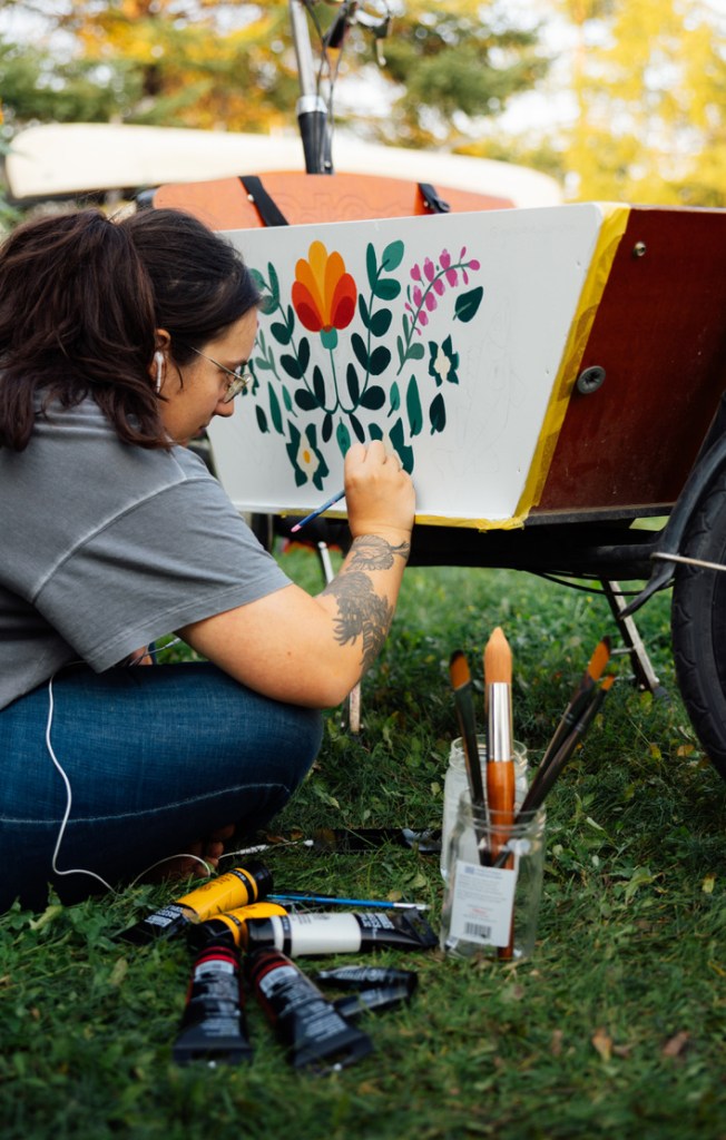
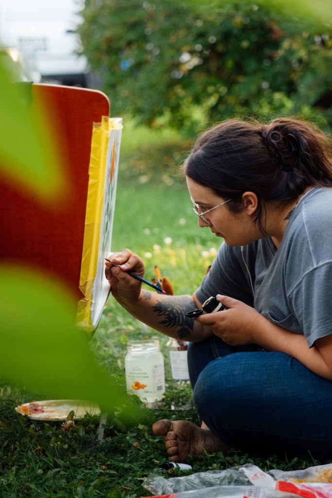
As the leaves of late August began to turn to colours of gold, my partner (and talented artist in her own right) Genoveve began translating her mural design to the cargo box. Her original design features some of our favourite local flora and fauna of the boreal forest, illustrated in a folk style reminiscent of Swedish and Dutch art.
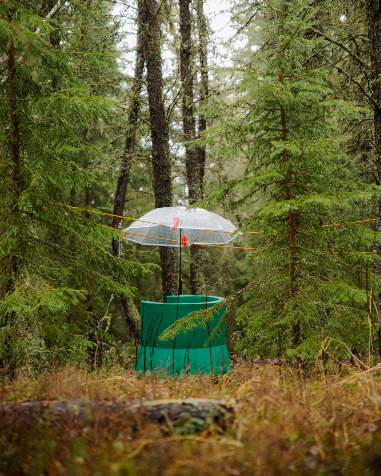
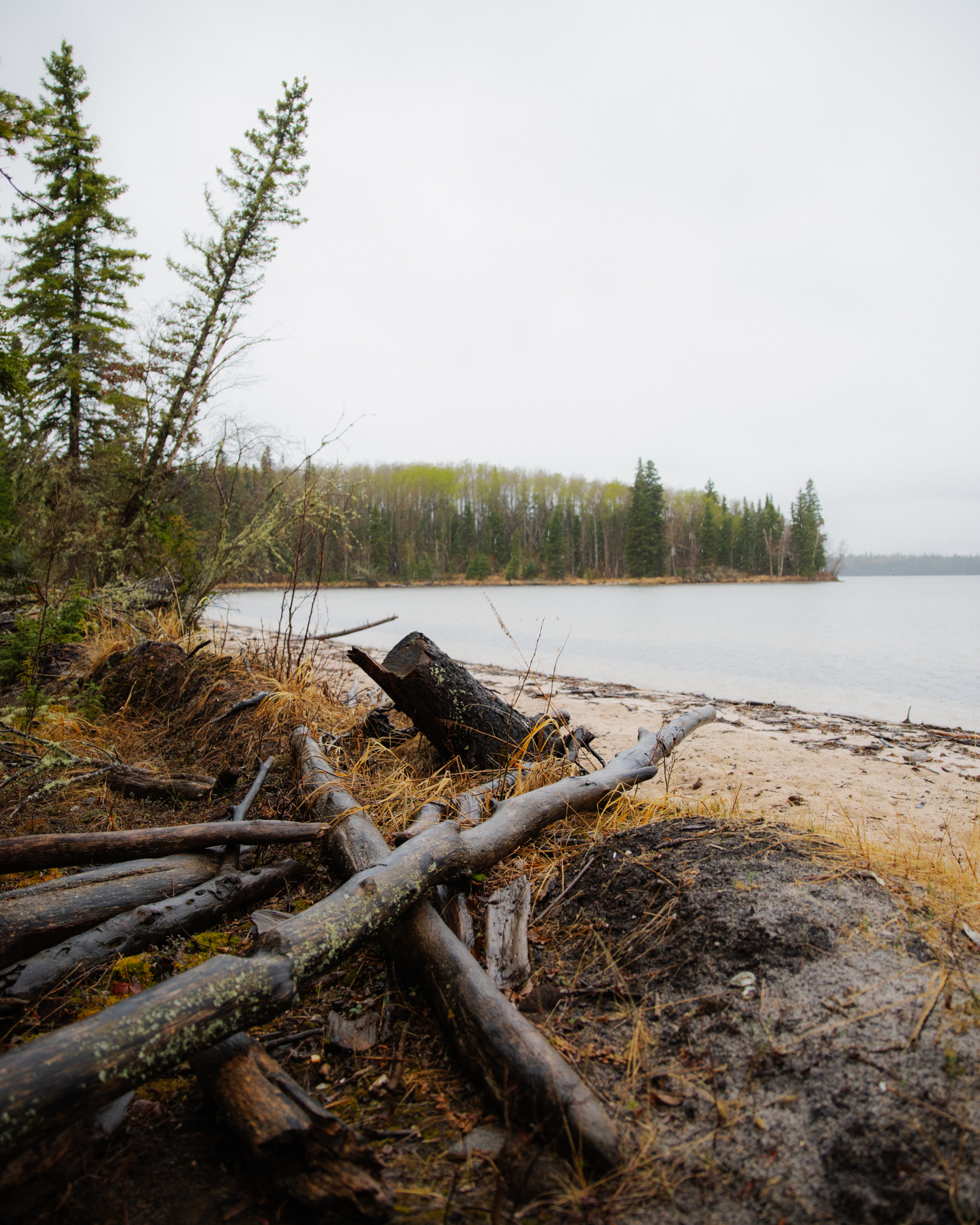
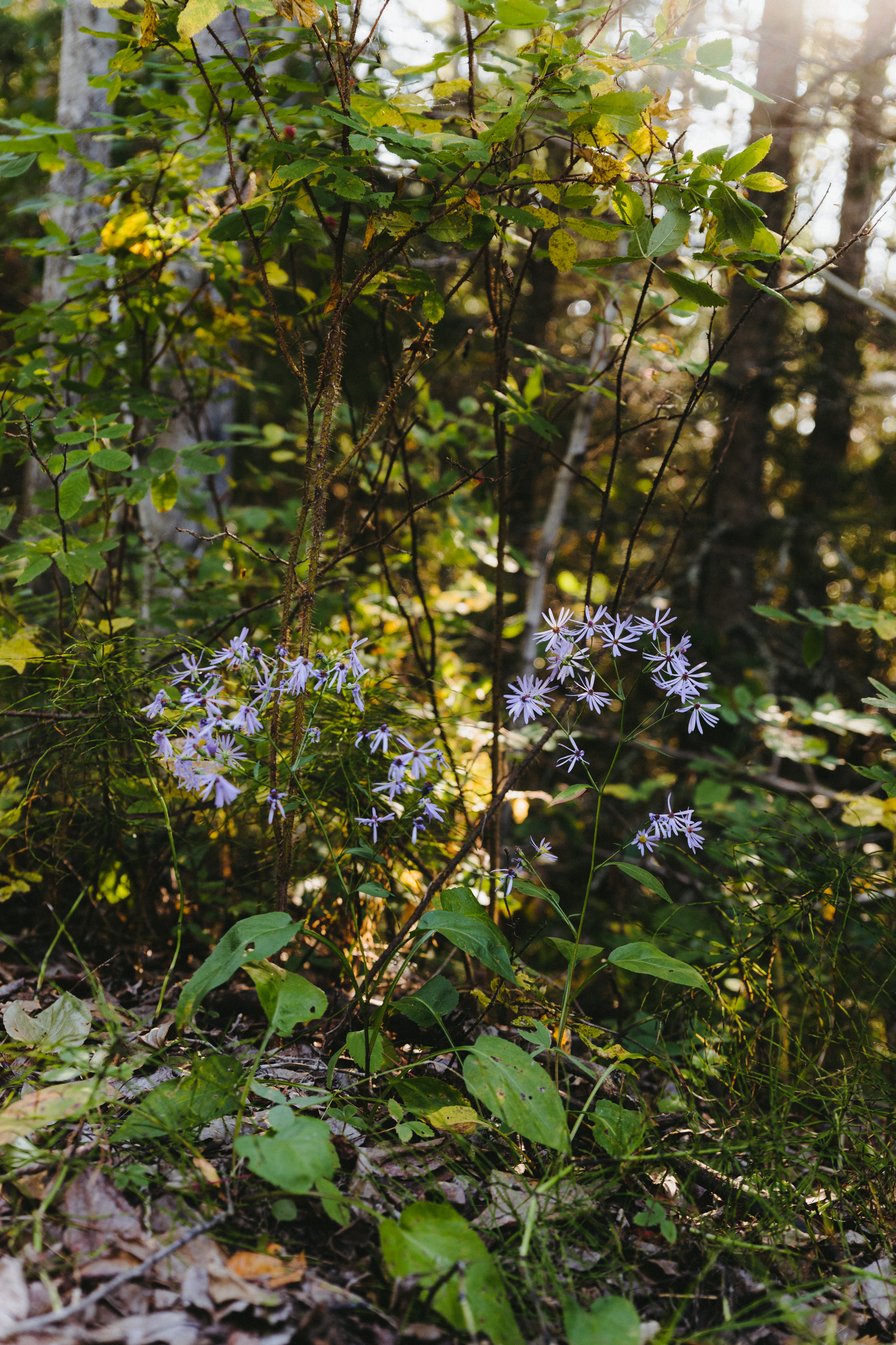
These natural wonders illustrate what poet and naturalist Wendell Berry calls “the principle of return”—a way of living on this planet that requires responsibility and care, and calls for methods and economies of a different kind. Take fireweed, for instance, whose vibrant purple fields spring up to repair the soil where it has been disturbed, or bunchberry, a prolific creeping plant that spreads by rhizomes in the highly acidic soil of old spruce stands where things which are decaying give way to new life. It’s a call to celebration and recognition that the place we call home is valuable not for a resource we can take from it, but rather because of the beauty of the land itself. I think it’s high time we learned from the land, tempered our relentless rape of her resources, and started giving back to the place that has already given us so much.


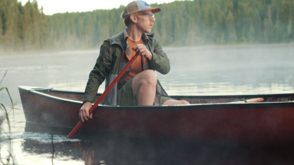
My love of the Dutch bicycle doesn’t just stem from aesthetics. For me, it is an avenue of reconnection with my heritage. My mother immigrated to Canada from the Netherlands with her family when she was two and I grew up with an Oma and Opa who passed on some of the culture to us. Although I struggle to understand the language I certainly enjoy the Dutch food! It was only fitting then, for the first person to Borrow the Bakfiets to be my mother. The Bakfiets was due to head south again.


The warmth of the evening sun lit up the variegated grasses and trees, reflected in the still waters of Broadmoor Lake as my mother took her first pedal strokes on the Bakfiets. The air was crisp and the joy was palpable as we cycled through the park navigating around dog walkers and moms pushing strollers. One couple remarked as we passed, “Look, it’s just like in Amsterdam!” The next morning my mom gave me a ride and became the quintessential “bakfietsmoeder” the endearing Dutch equivalent of, and alternative to, the North American mom driving a massive SUV.
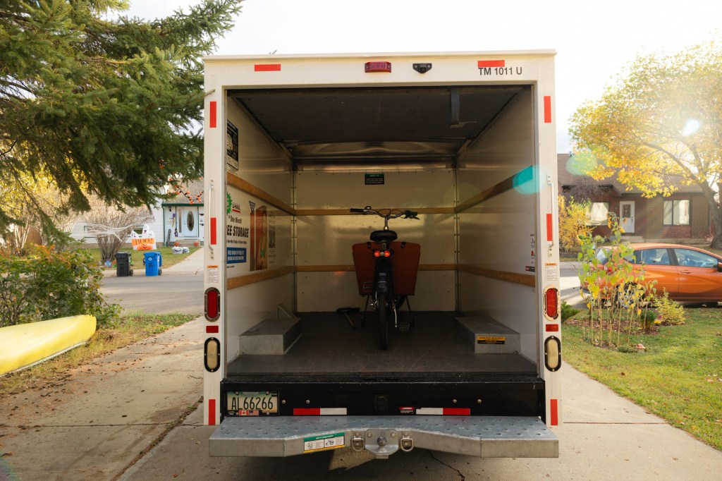
This same trip to Sherwood Park marked a change for me too—I sold my truck while I was there and rented a U-Haul for the return trip. Adding a cargo bike share to our transportation equation had proved, at least for me, that you really can live car-free in Fort McMurray.
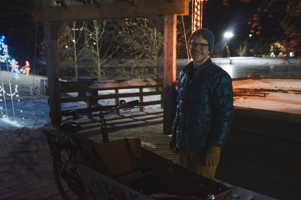
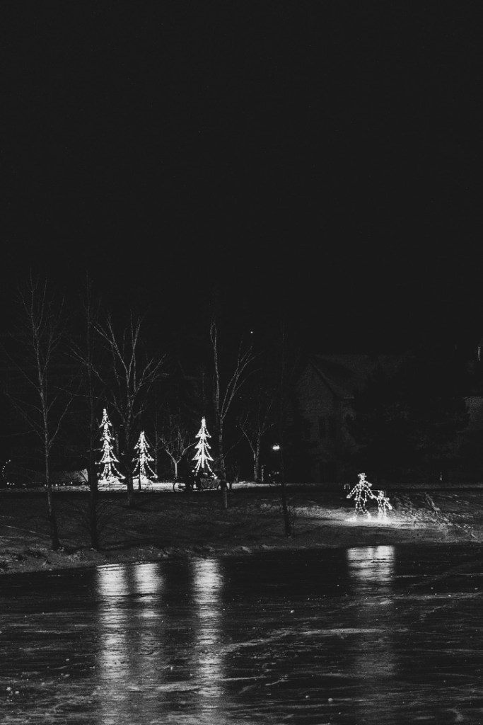
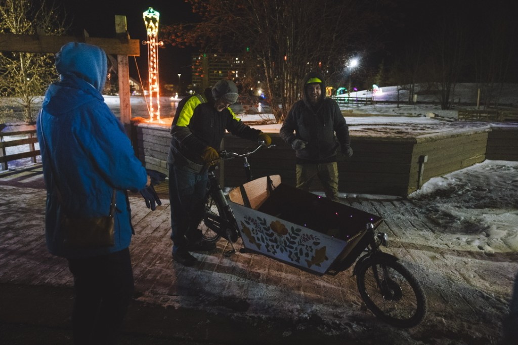
It’s now December and as snow begins to fall, interest in the project has slowed. On Boxing Day, gathered with friends and family, we officially launched the cargo bike share with a ribbon cutting, hot chocolate, and laps around the festively adorned park downtown. We still, of course, have a long way to go in transforming the culture in our northern city but I remain hopeful. We have generated some meaningful conversations and infused some joyful activism into our lives. I can’t wait to see what happens next. Let the borrowing begin!


To get involved or borrow the bakfiets, visit the project at https://borrowabakfiets.wordpress.com/.
Acknowledgements
Many hands have contributed to this project and for that I remain ever grateful. Thank you to Genoveve for your long suffering support and for capturing the artistic vision of the mural so beautifully, to Erin for your support and encouragement, to Matt at Normaal Bike Shop for selling us such a special bike and your patience as we secured funding, to Steph and Sky for your kindness, to Ma and Kat for your careful eyes and feedback on this essay, to the folks at the municipality who helped us with the grant submission, and to all the folks who offered feedback early in the project including the anonymous curmudgeon who suggested the best use for the bakfiets would be to “Toss… it into the Athabasca.”
Funding considerations for Borrow a Bakfiets (including this photo essay) were provided by the Regional Municipality of Wood Buffalo.
We acknowledge that we’re approaching this project from a place of privilege as settlers on Treaty 8 land and unceded Métis territory.
Further Reading
Christina Torres, Cyclista Zine (On bike joy joy and inter-sectional feminism)
Erin Riediger, Plain Bicycle (A podcast on the project in Winnipeg by the same name)
Jenny Odell, How to Do Nothing: Resisting the Attention Economy (On slowing down)